The Clark Creek Flood Control Channel was constructed in 1969 and is 1.7 km in length. It follows along Boundary Road from Bennett Boulevard, through the Sault Ste. Marie Golf Club and to Drake Street. From the intersection of Drake and Queen Street East, the creek is conveyed by a box culvert to the St. Marys River.
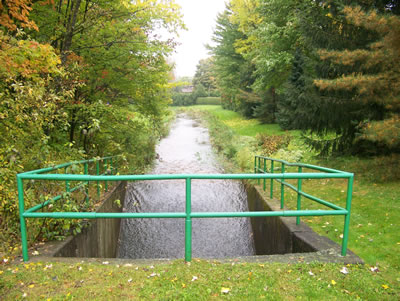
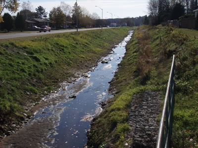
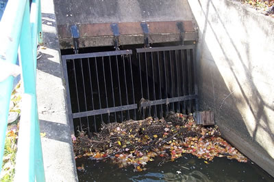
Channels are routinely checked for anything that may impede the flow of water. Yard was and garbage left or disposed of on the sides of the channels can cause serious problems during periods of high water flows.
 Fort Creek Flood Control Map
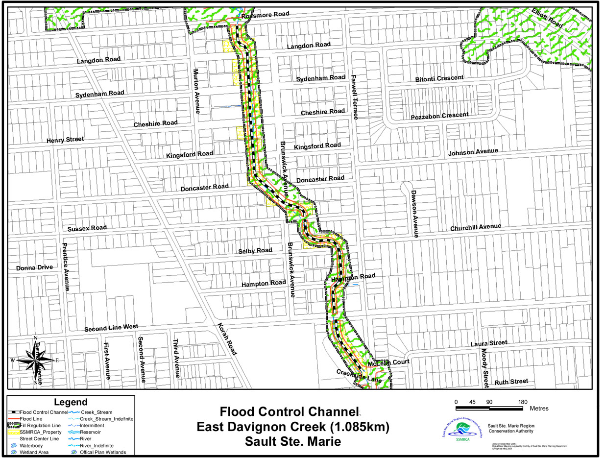 East Davignon Flood Control Channel Map
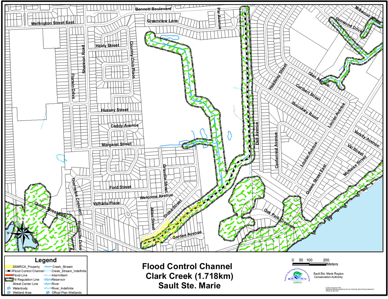 Clark Creek Flood Control Channel Map
 Central Creek Flood Control Channel Map
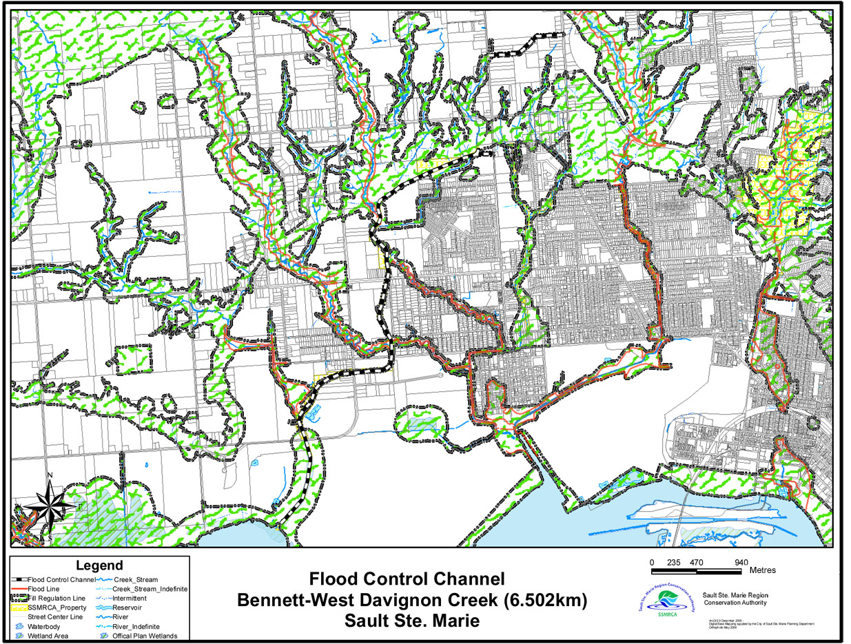 Bennett-West Davignon Flood Control Channel Map