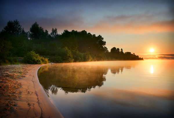
 The Marks Bay property is a 103 hectare (254 acre) site including 3000 metres (10,000 feet) of shoreline on the St. Marys River. Take Airport Road (Hwy. 565) and turn left to the boat launch and beach. The sandy shoreline is perfect for swimming and sunning or kayaking/canoeing.The forest creates picturesque surroundings for hiking, nature viewing or simply relaxing.
The forest is part of the Great Lakes-St. Lawrence forest region and is home to many different birds and small mammals. There is a red pine forest that is as striking as it is peaceful. Cedars scattered throughout the property provide the ideal habitat for deer as well as various species of rare plants of Algoma.
Although there are no formal trails, old logging roads and deer corridors run from one end of the property to the other.
Public Notice
Access to Mark's Bay Conservation Area is closed November 1st to April 30th annually.


