Risk to Resiliency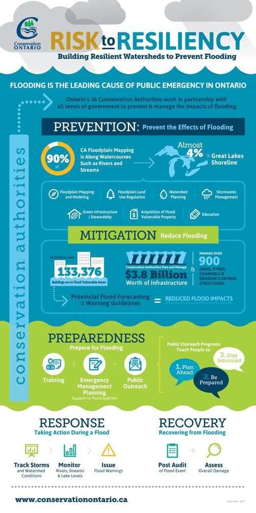
Why are Conservation Authorities Critical to Flood Management in Ontario?
Flooding is the leading cause of public emergency in Ontario.
Ontario's 36 conservation authorities (CAs) are an experienced network of natural resource management agencies which deliver well-established, effective and cost efficient flood management programs and services which protect lives and prevent hundreds of millions of dollars in costly damages and business disruptions.
CAs work in partnership with all levels of government because Flood Management in Ontario is a shared responsibility between the Province, municipalities and conservation authorities.
What do conservation authorities do to prevent and reduce flooding in their watersheds?
-
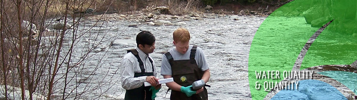
Monitor precipitation and streamflow, year-round, on a regular basis
-
Using watershed information gathered from stream gauges, weather stations, snow surveys, meterorological forecasts and computer models to issue flood messages and warning to municipalities, businesses, the general public and others
-
guide development away from flood-prone areas through land use planning advice and conservation authority regulations through permitting.
-
operate and maintain dams, dykes, channels and other control structures along rivers and shorelines
-
provide technical support and advice to municipalities and emergency management teams
-
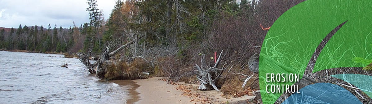
encourage the protection of greenspaces and wetlands which help to reduce flows and store floodwaters, both of which delay or reduce flood peak.
-
inform and educate the public
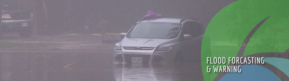
Conservation Authorities track and warn Ontarians about flooding
The Conservation authorities' flood forecasting and warning system is a cornerstone for flood management in Ontario. It warns of the potential for flooding.
Within their watershed jurisdictions, conservation authorities monitor 'riverine' conditions. The monitor and measure precipitation and streamflow, do snow surveys, track meteorological models and forecasts, generate potential flood models, and based on this information, issue flood messages to municipalities, emergency management personnel, the Province, Environment Canada and the general public.
The flood messages used by conservation authorities have been developed in collaboration with the Province.
During flood events, the Weather Network and local media rely on CA flood messages to alert and keep people safe.
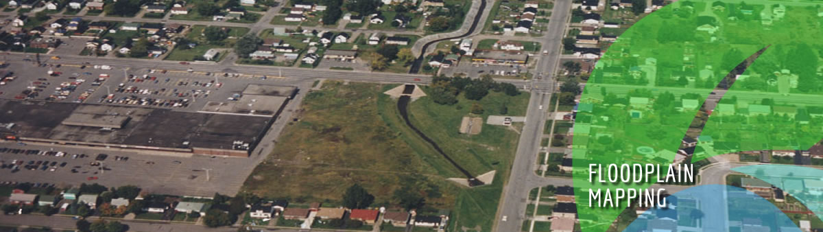
Conservation Authorities' floodplain mapping and regulations protect people and reduce damage costs
Conservation authorities are legislated by the Province to regulate development away from flood prone areas.
Conservation authority floodplain mapping is a critical component of successful emergency planning and response to flooding. It identifies flood-prone areas as well as structures that are in the path of floods. It also provides important information about the pattern of potential flood events and their impacts across the watershed which helps conservation authorities to know where to guide development in order to protect people from flooding and flood damage.
Through the Conservation Authorities Act, CAs regulate development activities in or near river and stream valleys, Great Lakes and large inland lakes, shorelines, watercourses, hazardous lands and wetlands. Regulations protect people and property from flooding and other natural hazards.
Conservation authorities work with municipalities, homeowners developers and others to determine the best placed to located development.
An evaluation of the state of conservation authority floodplain mapping found that 72% of CA floodplain mapping projects are outdated and 44% of these are in high risk areas.