


|
Flood Outlook - Lake Superior Shoreline
Posted: Nov 05, 2019
Flood Outlook – Lake Superior Shoreline
Issued November 05, 2019 @ 12:00 pm
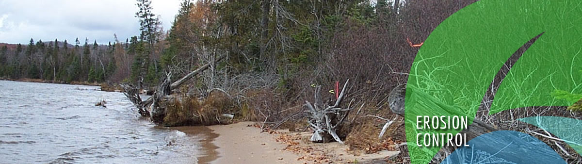
The Sault Ste. Marie Region Conservation Authority (SSMRCA) is advising that Lake Superior water levels remain well above normal. There are observations, reports, or expectations of shoreline flooding or erosion at this time, localized flooding of low-lying areas may be possible.
According to The National Hydrological Services Great Lakes Water Levels Information, water supplies to all the Great Lakes were above average in October and continue to remain well above average. Peak Lake Superior water levels along with forecasted wind may be expected to cause shoreline flooding hazards, localized flooding/erosion may occur in low-lying sections of waterfronts.
Shoreline flooding and/or erosion hazards are possible if substantial storm surge and wave action occurs. Strong shore-bound winds occurring from the north or west would pose the primary concern.
Currently, the Lake Superior water level is approximately 183.88 m IGLD85. Lake Superior fell 2 cm last month, while on average it falls 3 cm in October (1918-2018). The monthly mean water level of Lake Superior was 36 cm above its period-of-record (1918-2018) average, 8 cm higher than last year’s level and just 1 cm below the record set in 1985. For additional reference, the SSMRCA shoreline flooding hazard level used for planning and development is 184.2 m. SSMRCA wishes to remind residents to exercise caution near lakefront areas during this time, as high water levels and/or wave action may pose significant erosion, flooding and public safety hazards. SSMRCA staff continue to monitor Lake Superior wind conditions and lake levels closely. This statement is in effect until (or updated before) December 5, 2019
|
Current Watershed Conditions

Sault Ste. Marie Region Conservation Authority (SSMRCA)

